Many a time during my driving tour, I suspected Google Maps of using me as a guinea pig to test out country roads. Distances aren't large in rural Ireland, the density of the villages makes it look like you're covering a lot of territory on the map, but actually you have only driven a few km.
I didn't skirt the coast in reaching Portmagee, so I was taken through some narrower than usual regional roads. The bridge to Valentia Island is part of R565.
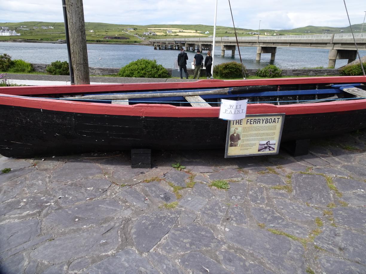
There used to be a ferry here until the bridge was built in 1970. The other end of the island is however still connected to the main island by a ferry which we will view soon. I'm on the bridge looking back where I came from.
Tours to the previously mentioned Skellig Islands start from this port.
There is history connected with Irish uprisings commemorated in plaques and signs here.
With the bridge as background. The bridge is named after a IRA Kerryman who was executed in 1942.
A memento of when a ferry operated here.
There was nothing in the town to tarry me, so after using the toilets I crossed the channel. Here are a couple of panoramas before leaving.


No comments:
Post a Comment